
- Home
- What's New
-
Trip Logs
- 2018 - Achray - Clover - Tarn - St. Francis >
- Rock - Louisa - Welcome
- Opeongo - Catfish
- Kiosk - Erables - Catfish - Cedar
- Canoe - Joe - Burnt Island
- Canoe - McIntosh - Shah
- Shall - Booth - Shirley - McKaskill
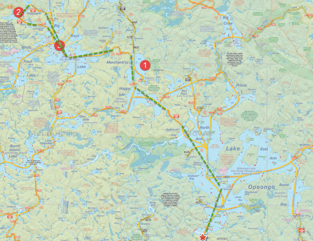
- Opeongo - Shippagew
- Opeongo - Round Island >
- Magnetawan - Rosebary - Shah >
- Kiosk - Mouse - Maple >
- 2017: One Day Failed Trip
- Blog
- Gear
- Photo Gallery
- About
 RSS Feed
